Open Today | 10 AM - 6 PM
Confetti
Directory
Stores
Centre Map
Promotions
Store Promotions
Dining Promotions
Events & Contests
Events
Contests
Info-Centre
Hours
Gift Card
Services
OnePlanet
CHECK-IN!
Newsletter
Contact Us
Contact Us
Jobs
Leasing
FR
|
EN
FR
|
EN
Confetti
Directory
Stores
Centre Map
Promotions
Store Promotions
Dining Promotions
Events & Contests
Events
Contests
Info-Centre
Hours
Gift Card
Services
OnePlanet
CHECK-IN!
Newsletter
Contact Us
Contact Us
Jobs
Leasing
401 Boul Labelle Rosemère QC J7A 3T2
Stay Connected
On Sale
Women
Men
Baby & Kids
Beauty
Home
Summer Essentials
Quebec Day
Father's Day
Stores
Brands
Wishlist
Wishlist
Search
Search
Items on Sale
Clothing
Tops
Bottoms
Outerwear
Swimwear
Sleepwear
Underwear
Dresses & Jumpsuits
Accessories
Socks
Hosiery
Hats
Headbands
Scarves
Gloves & Mittens
Sunglasses
Eyeglasses
Belts
Wallets
Watches
Jewellery
Shoes
Sneakers
Boots
Sandals
Flip Flops
Pumps
Flats
Shoe Care
Bags & Backpacks
Satchel
Messenger
Saddle
Tote
Duffel
Hobo
Clutch
Sports & Fitness
Yoga
Gym
Outdoor
Sportswear
Items on Sale
Clothing
Tops
Bottoms
Outerwear
Swimwear
Sleepwear
Underwear
Accessories
Socks
Hats
Headbands
Scarves
Gloves & Mittens
Sunglasses
Eyeglasses
Belts
Ties
Wallets
Watches
Jewelry
Shoes
Sneakers
Boots
Sandals
Flip Flops
Dress Shoes
Shoe Care
Bags & Backpacks
Messenger
Duffel
Briefcase
Luggage
Sports & Fitness
Gym
Outdoor
Sportswear
Items on Sale
Clothing
Tops
Bottoms
Outerwear
Sleepwear
Underwear
Baby Gear
Strollers
Carriers
Feeding
Seats
Cribs
Toys
Video Games
Consoles
Controllers
Building Toys
Puzzles
Dolls
Play Sets
Stuffed Toys
Costumes
Items on Sale
Skincare
Face Scrubs
Face Peels
Facial Cleansers
Essential Oils
Bath Salts
Body Wash
Makeup Remover
Moisturizers
Face Serums
Shaving Treatments
Toner
Sunscreen
After Sun Care
Makeup
Face
Eyes
Lips
Tools
Hair
Shampoo
Conditioner
Hair Treatment
Hair Color
Hair Brush
Hair Tie
Hair Towel
Hair Curler
Straightener
Hair Dryer
Nails
Nail Polish
Nail File
Items on Sale
Bedroom
Bed Sheets
Pillows
Mattress
Mattress Cover
Kitchen
Cookware
Utensils
Appliances
Office
Stationery
Notebooks & Planners
Decor
Candles
Rugs
Vase
Curtains
Wall Art
Furniture
Chairs
Sofas
Benches
Desks
Shelves
Mirrors
Electronics
Laptops
Monitors
Mice
Headphones
Speakers
Home Theatre
Cables
Batteries
Cases
Cameras
Clothes
Shoes
Accessories
Home
Outdoor Activities
Bags & Wallets
Electronics & Accessories
Grooming & Cologne
Accessories
ALDO
AMNESIA MODE
Ardene
Bath & Body Works
Bentley
Best Buy
Bikini Village
Boathouse
body & beach
BOPIED TENDANCES
Browns
Calecons Vos Gouts
Cazza Petite
Change Lingerie
Claire's
Clement
Colori
Cotard
Dans Un Jardin
de neuville
Dormez-vous
Doucet Latendresse
Dynamite
Ecko Unltd
Ema & Carla
Ernest
FACES COSMETIQUES
Foot Locker
GameStop
Garage
Globo
Greiche & Scaff
Grif & Graf
H&M
HOCKEY EXPERTS
INDUSTRIA
Jack & Jones
Jean Bleu
JEUXJUBES
Kozy
La Forfaiterie
La Vie en Rose
Laura
Laura Secord
Lavigueur
Le Chapelier
Le Château
LIBRAIRIE CARCAJOU
Lids
Lilianne Lingerie
Lush
MAEXOU
MANTEAUX MANTEAUX
Marie Claire
Maska
Melanie Lyne
Mia
Mobile Klinik
Mobile Snap
New Look
Pandora
Reitmans
ROGER ROY
RW & Co.
San Francisco
Skechers
Soft Moc
Stokes
Stylo.ca
Sunrise Records
Suzy Shier
T Shirt Time
TOP MODE
Tristan
Urban Behavior
Urban Kids
Videotron
Vincent D'Amerique
Walmart
WirelessWave
WLKN
Yves Rocher
ZARA
Aldo
American Eagle Outfitters
Banana Republic
Bikini Village
H&M
Roots
Rw & Co.
Softmoc
Swarovski
Zara
Close Button
Wishlist
Search
All Categories
Close Button
On Sale
Women
Men
Baby & Kids
Beauty
Home
Summer Essentials
Quebec Day
Father's Day
Stores
Brands
Home
Illustrated Atlas of India
Illustrated Atlas of India
Unfortunately, this item is no longer available, but we found some similar items you might like.
Product Information
You May Also Like
Wishlist
Add To Wishlist
Quick View
Children's Picture Atlas
Librairie Carcajou
Wishlist
Add To Wishlist
Quick View
Illustrated Human Anatomy
Librairie Carcajou
Wishlist
Add To Wishlist
Quick View
National Geographic Visual Atlas of the World, 2nd Edition
Librairie Carcajou
Wishlist
Add To Wishlist
Quick View
The Illustrated Ramayana
Librairie Carcajou
Wishlist
Add To Wishlist
Quick View
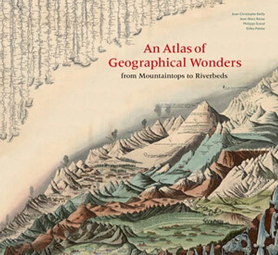
An Atlas of Geographical Wonders
Librairie Carcajou
Wishlist
Add To Wishlist
Quick View
First Animal Picture Atlas
Librairie Carcajou
Wishlist
Add To Wishlist
Quick View
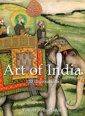
Art of India
Librairie Carcajou
Wishlist
Add To Wishlist
Quick View
Art of India
Librairie Carcajou
Wishlist
Add To Wishlist
Quick View
National Geographic Concise Atlas of the World, 5th edition
Librairie Carcajou
Wishlist
Add To Wishlist
Quick View
The Illustrated Dinosaur Encyclopedia
Librairie Carcajou
Wishlist
Add To Wishlist
Quick View
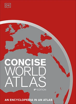
Concise World Atlas, Eighth Edition
Librairie Carcajou
Wishlist
Add To Wishlist
Quick View
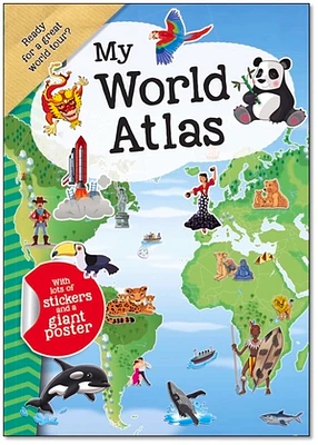
My World Atlas
Librairie Carcajou
Keep Shopping
Sustainability
On Sale
New In
Men
Women
Baby and Kids
Beauty
Jewelry
More About LIBRAIRIE CARCAJOU at Place Rosemère
Bookstore for adults & children. Order & research service available, as well as online information & reservations.
401 Boul. Labelle, Rosemère, QC J7A 3T2, Canada
Store Info
450 437-0690
Driving Directions
View Map
More details