


Home
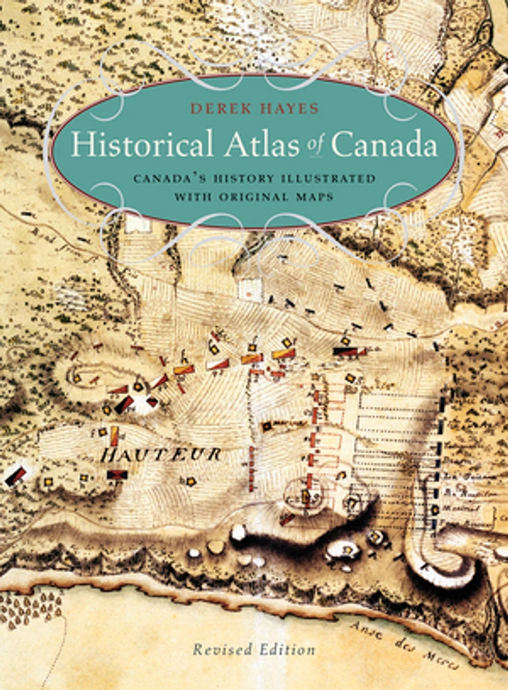
Historical Atlas of Canada
LIBRAIRIE CARCAJOU
Historical Atlas of Canada
From Librairie Carcajou
"This is a gorgeous piece of work, rich and heavy and brimming with the minutiae of attempts to capture aspects of the Canadian landscape by cartography."
— The Georgia Straight
Maps tells the story in this innovative volume, and the story of Canada they tell is profoundly engrossing and rewarding. The atlas covers a period of a thousand years and contains essentially all the historically significant maps of the country. Gathered from major archives and libraries all over the world, they include treasures from the National Archives of Canada—many never before published—and many from the archives of the Hudsonís Bay Company. Included are maps by the founder of New France, Samuel de Champlain, by Philip Turnor and Peter Fidler. There are English maps and French maps; Spanish maps and Russian maps; American, Italian and Dutch maps as well as maps drawn by Native people such as the Beothuk, Blackfoot and Cree. Canadaís colourful past unfolds in sumptuous visual detail—history seen from a whole new perspective.