


Home
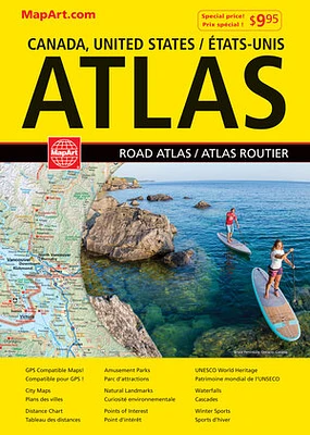
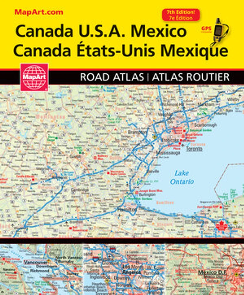
Canada USA Mexico Road Atlas
LIBRAIRIE CARCAJOU
Canada USA Mexico Road Atlas
From Librairie Carcajou
Current price: $19.95
Loading Inventory...
*Product information may vary - to confirm product availability, pricing, shipping and return information please contact LIBRAIRIE CARCAJOU
Conveniently sized at 8.75” x 10.5” this GPS compatible road atlas of Canada, U.S.A. and Mexico includes points of interest listing, country information, North American time zone map, key maps, select city maps, distance chart and place name index for each country. The maps at various scales include population symbols, national and provincial/state capitals, toll roads, distance markers, ferries, airports, hot springs, waterfalls, bird sanctuaries, nature reserves, caves, summits, altitudes, points of interest, museums worth seeing, UNESCO World Heritage sites, archeological places, campgrounds, golf courses, national landmarks, zoos, botanical gardens and much more.
Printed in Canada!
Wire-O bound
21.5 x 28 cm (8.5 x 11 in)