


Home
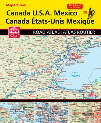
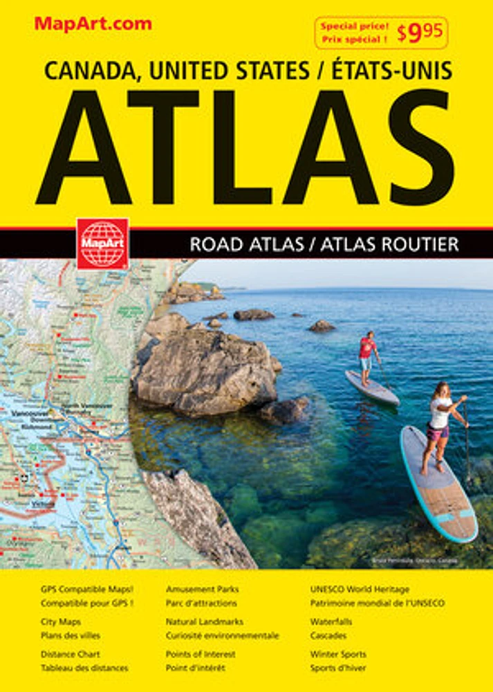
Canada United States Road Atlas
LIBRAIRIE CARCAJOU
Canada United States Road Atlas
From Librairie Carcajou
Current price: $9.95
Loading Inventory...
*Product information may vary - to confirm product availability, pricing, shipping and return information please contact LIBRAIRIE CARCAJOU
This best-selling 2020 edition road atlas has 1000s of updates for the most reliable on-the-road navigation and pre-trip planning.
Inside this 128 page atlas you will find regional maps of the Canadian provinces/territories and US states, city maps of Montréal (1:200,000), Toronto (1:200,000), Vancouver (1:250,000), drive-through maps of Chicago, New York City, Los Angeles, Washington D.C., map legend, North American distance table and community name index.
Map features include populations, international boundaries, state/provincial boundaries, time zones, express routes/interstate highways, Trans-Canada highway, multilane highways, highways, provincial/state highways, roads under construction, other roads, winter roads and winter trails (Alaska), toll roads, railways, ferries, distance markers, border crossings, airports, harbours/ports, hot springs/geysers, waterfalls, bird sanctuaries, nature reserves, caves, summits, altitudes, points of interest, museums worth seeing, UNESCO World Heritage sites, archeological places, speedways, amusement parks, monasteries worth seeing, churches worth seeing, forts worth seeing, lighthouses, battlefields, oil production sites, dams/locks, winter sports, aqua parks, marinas and natural landmarks.
Printed in Canada!
Wire-O bound
27.62 x 38.1 cm (10.875 x 15 inches)