


Home
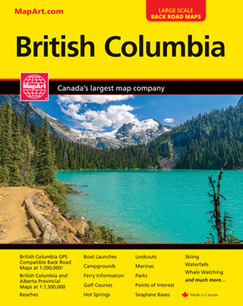
British Columbia Back Road Atlas
LIBRAIRIE CARCAJOU
British Columbia Back Road Atlas
From Librairie Carcajou
Current price: $25.95
Loading Inventory...
*Product information may vary - to confirm product availability, pricing, shipping and return information please contact LIBRAIRIE CARCAJOU
It’s the definitive auto companion for travel in this area, whether you are a resident or short-term visitor. It’s got all the features to make even the unfamiliar areas easy to navigate.
Inside this 256 page atlas you will find back road maps (1:200,000), provincial maps (1:1,500,000), locator maps, ferry information, distance chart, parks listing, golf course listing, points of interest listing, community index and road index.
The regional maps features include expressways, interchanges, exit numbers, primary highways, secondary highways, gravel highways, secondary gravel highways, Calgary City Route, main thru roads, paved roads, gravel roads, unimproved roads, seasonal roads, airports, VIA Rail stations, ferry docks, ferries, railways, hospitals, RCMP, tourist information centres, landmarks, customs, points of interest, crossborder shopping, hot springs, lookouts/viewpoints, rest areas, campgrounds, skiing, golf, boat launches, marinas, wharfs, lighthouses, UNESCO World Heritage sites, National Historic sites, bird watching, beaches, waterfalls, rapids, peaks, national parks, provincial parks, ecological reserves, protected areas, National Defence, Indian reserves, glaciers, populations and more!
Wire-O bound
Proudly made in Canada!
22 x 27 cm (8.5 x 10.75 inches)
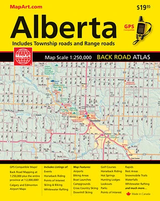
Provinces/Territories: Alberta, British Columbia