


Home
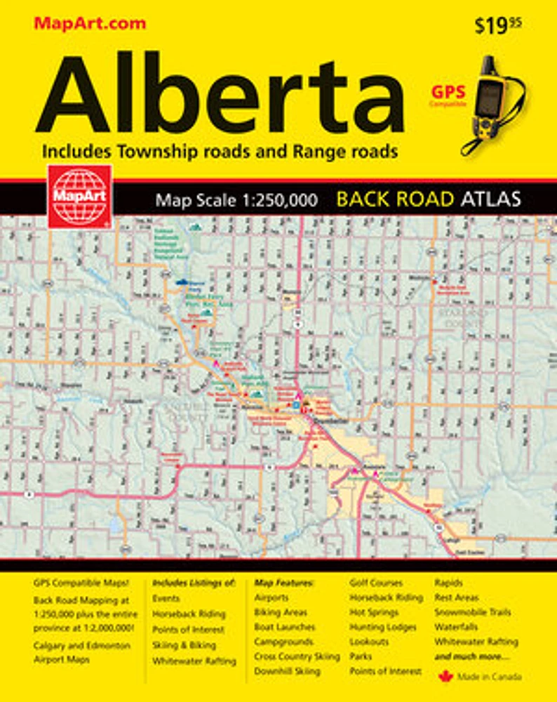
Alberta Back Road Atlas
LIBRAIRIE CARCAJOU
Alberta Back Road Atlas
From Librairie Carcajou
Current price: $19.95
Loading Inventory...
*Product information may vary - to confirm product availability, pricing, shipping and return information please contact LIBRAIRIE CARCAJOU
It’s the definitive auto companion for travel in this area, whether you are a resident or short-term visitor. It’s got all the features to make even the unfamiliar areas easy to navigate.
Inside this 320 page atlas you will find back road maps (1:250,000), Alberta highway map (1:2,000,000), airport maps, Alberta distance chart, feature listings (Alberta parks, points of interest, horseback riding, whitewater rafting, ski and bike), community and road indexes.
The regional maps features include multi-land divided highways, interchanges, exit numbers, primary highways, secondary highways, unpaved highways, Calgary City Route, paved roads, unpaved roads, unimproved and seasonal roads, airports, railways, ferries, RCMP, hospital, customs, tourist information centres, rest areas, skiing, mountain biking, golf courses, boat launches, marinas, points of interest, white water rafting, horse ranches, snowmobile trails, hiking trails, campgrounds, hunting and fishing lodges, UNESCO World Heritage sites, National Historic sites, bird watching, viewpoints/lookouts, hot springs, boundaries, time zones, rapids, waterfalls, beaches, peaks, glaciers, National parks, provincial parks, protected areas, small parks, bird sanctuaries, National Defence, Indian reserves, populations and more!
Wire-O bound
Proudly made in Canada!
23 x 27 cm (8.9 x 10.75 inches)
Provinces/Territories: Alberta